Nov 14, 2020

Castellfollit de la Roca, Province of Girona, Catalonia, Spain

Castellfollit de la Roca is a municipality in the comarca of Garrotxa, in the Province of Girona, Catalonia, Spain. The urban area is bordered by the confluence of the Fluvià and Toronell rivers, between which the town's basalt cliff rises. Castellfollit de la Roca is one of the most picturesque villages in the autonomous community of Catalonia, in Spain. The village is situated on a narrow strip of basalt rock, barely two houses wide at places, that rises to a height of 50 meters and stretches for a kilometer. This small urban area is bordered by the confluence of the Fluvià and Toronell rivers, between which the town's spectacular basalt cliff rises. With an area of less than 1 square km, Castellfollit de la Roca is one of the smallest villages in Spain. The sight of the church and the houses high on the edge of the basalt precipice has become one of the most photographed and the most popular image of this region. It was formed by the overlaying of two lava flows.

The cliff is the result of two lava flows; the first took place 217,000 years ago, and originated in the area of the village of Batet, and has formed slabs. The second, a more recent formation from the volcanoes of Begudà is 192,000 years old, and has formed into prismatic shapes. Castellfollit de la Roca has its origins in mediaeval times, and consist of squares and dark, narrow streets. The houses are mostly made from volcanic rock. At the end of the cliff lies the Josep Pla viewpoint-square from which one can see a spectacular panorama. The town's strategic location, and its naturally advantageous position for defence can be fully appreciated. On one side of the cliff stands the old church of Sant Salvador, which dates back to the 13th century.


From its peak on the layered, volcanic formation, the town offers stunning views. To both sides, the rivers Fluvià and Toronell amble by the rock face of the town through the volcanic zone of Garrotxa. To add to the drama of the landscape, the cliffs are illuminated from sunset until midnight for six months out of the year.

In reality, it is the old town that is located on this rock cliff, known as La Cinglera de Castellfollit and originated by the superposition of two lava flows in an area that has ceased its volcanic activity too long ago, but the orography of the The field tells us things that cannot be told by writings or oral testimonies.

It is not only one of the most beautiful towns in Catalonia, but also one of the smallest ones, where the smell of firewood and dishes cooked on the grill already permeate its streets. The town is made up of basalt stone houses that have resisted for years and everything seems to indicate that they will continue to do so. The route through its streets inevitably leads to the Mirador Josep Pla, from where you can admire a panoramic view of the entire valley.

Nov 7, 2020

Cenote Ik Kil, Tinúm Municipality, Yucatán, Mexico.

Cenote Ik Kil is a cenote outside Pisté in the Tinúm Municipality, Yucatán, Mexico. It is located in the northern center of the Yucatán Peninsula and is part of the Ik Kil Archeological Park near Chichen Itza. It is open to the public for swimming. The cenote is open to the sky with the water level about 26 metres (85 ft) below ground level. There is a carved stairway that leads down to a swimming platform. The cenote is about 60 metres (200 ft) in diameter and about 48 metres (157 ft) deep.

Cenote Ik Kil is near the Mayan ruins of Chichen Itza, on the highway to Valladolid. Ik Kil was considered sacred by the Mayans who used the site as a location for human sacrifice to their rain god, Chaac. Bones and pieces of jewelry were found in the deep waters of this cenote by archaeologists and speleologists. The cenote is part of a complex that includes a restaurant, giftshop, bicycles for rent, changing rooms, and a hotel in site. As of 2020, the price of admission to the cenote Ik Kil is 80 pesos (USD 4) for adults, and 40 pesos (USD 2) for minors.


Cenote Ik Kil is one of the most beautiful of the natural wells that stud the jungle of the Yucatan Peninsula. Tour the incredible Mayan ruins of nearby Chichén Itzá and then cool off with a dip in these vibrant turquoise waters. Get a sense of why the Mayans considered the cenotes to be sacred places. 

Cenotes are deep natural swimming holes that are often joined to caves. Many of them are in wells many feet below ground level and the water-filled parts stretch far down into the depths of the earth. Leap into Cenote Ik Kil and you certainly will not be able to touch the bottom.

Descend the staircase carved into the rock and stop at the viewing windows to take photos of the ethereally beautiful bright water and sun-dappled rock face as you go. Take advantage of the cenote’s facilities, which include showers and changing rooms. Step into the pool, or be brave and dive from one of the many platforms provided for the purpose. Once in the water, look up at the lush green vines that dangle from above. Try not to worry if something brushes your leg. The pool is inhabited by catfish, which are completely harmless. 

Imagine this magical place as it would have looked over a thousand years ago, when the Mayans conducted religious ceremonies here. Unlike the nearby Cenote Sagrada, Ik Kil is not known to have been used for human sacrifices. Visit Cenote Ik Kil on the same day that you visit Chichén Itzá. The cenote is only a few minutes’ drive away. There is a small entrance fee. Join one of the many guided tours that includes both this cenote and Chichén Itzá and all entry fees will be included.

Nov 5, 2020

Sandhan Valley (The Valley of Shadows), Ahmednagar District, India,

Sandhan Valley, "The Great Canyon" in the Sahyadri ranges which is combination of a canyon and a valley. Located in the Ahmednagar district, India, near the famous fort Ratangad. Sandhan valley is undoubtedly The Valley of Shadows.

It can be reached from Samrad village which is the base village. Samrad is approx. 30 Kms from Bhandardara and 3 Kms off the Ghatghar Dam road. Sandhan Valley is known by many names viz. Valley of Suspense, Valley of Shadows, and Grand Canyon of Maharashtra. However, Sandhan is no comparison to the Grand Canyon in the Arizona State of USA which is a 445 Kms long canyon cut by the Colorado River, Sandhan is barely 2 Kms long. Sunrays reach the gorge only for a short span of time during the day when the sun is directly above the gorge, thus the gorge remains in shadow for most part of the day. There is no suspense in the gorge or the valley beneath. Sandhan Valley is a wonder of nature with stunning views, chilly weather and the spellbound majesty of nature.

Best time to visit Sandhan Valley is during winters from November till February. Sandhan valley is inaccessible in the monsoons as the area witnesses heavy rainfall.


Sandhan Valley is a gorge cut by wild water streams gushing down ferociously from nearby mountains during the monsoons for past thousands of years. The streams fall in to the valley beyond the gorge and form a pond. To reach the pond one has to rappel down from the far end of the gorge in to the valley. The views from the far end of the gorge are truly breath taking and the experience is amazing.

Sandhan valley and Bhandardara region is surrounded by mighty mountains from all sides offering challenging treks. The trekking grade could be ‘Moderate’ or ‘Difficult’ thus requiring good endurance and experience. Treks in this region are not recommended for novice trekkers. The most challenging trek is a trek popularly known as the AMK named after the three mountains Alang, Madangad and Kulang to the northern side of Samrad. Far north is Mount Kalsubai, the highest peak of Maharashtra at 5400 feet ASL. At close proximity from Samrad in the east direction is the famous Ratangad and to the south stand high the Ajoba and the Bann peaks. All the peaks are amongst the mightiest peaks in the Sahyadri range.

Being a remote village there are no hotels in Samrad. The locals make homestay arrangements. Trekkers and Mountaineers can opt to stay in their own camping tents carried along.

Nov 4, 2020

Jacob's Well, Northwest of Wimberley, Texas


Jacob's Well is a perennial karstic spring in the Texas Hill Country flowing from the bed of Cypress Creek, located northwest of Wimberley, Texas.

Jacob’s Well Natural Area consists of five land surveys that all use the spring as a corner to tie the properties together. These surveys were conducted in 1847 by a prominent surveyor names Bartlett Sims. In the early 1850’s William C. Winters, a San Jacinto veteran and early settler of Wimberley, hiked up Cypress Creek searching for its source and found an overflowing spring. It is said that Mr. Winters exclaimed “like unto a well in Bible times.” Thus it was named ‘Jacob’s Well’. The property changed hands many times over the next 100 years and became a popular recreational destination. Jacob’s Well Natural Area remains a popular recreational destination today.

The spring is located on the property of Jacob's Well Natural Area (JWNA), managed by the Hays County Parks Department. The visitor entrance for JWNA is located at 1699 Mt. Sharp Road, Wimberley, TX 78676. The 12-foot (3.7 m) diameter mouth of the spring serves as a popular local swimming spot. From the opening in the creek bed, Jacob's Well cave descends vertically for about 30 feet (9.1 m), then continues downward at an angle through a series of silted chambers separated by narrow restrictions, finally reaching an average depth of 120 feet (37 m). Until the modern era, the Trinity Aquifer-fed natural artesian spring gushed water from the mouth of the cave, with a measured flow in 1924 of 170 US gallons per second (640 L/s), discharging 6 feet (1.8 m) into the air.

Due to development in the area, the level of the Trinity Aquifer has dropped affecting the flow of water through Jacob's Well. In the modern era, what remains visible of the spring is a faint ripple on the surface of Cypress Creek. The spring ceased flowing for the first time in recorded history in 2000, again ceasing to flow in 2008. This resulted in now ongoing measures to address local water conservation and quality. Hays County purchased 50 acres (20 ha) of land around Jacob's Well in 2010, in an attempt to protect the spring from development. An additional thirty-one acres was transferred to the county from the neighboring Jacob’s Well Natural Area (administered at the time by the Wimberley Valley Watershed Association (WVWA)), the new, eighty-acre (32 hectares) named the Westridge Tract. 


The system has been explored and mapped by cave divers of the Jacob's Well Exploration Project and has been shown to consist of two principal conduits. One passageway measures approximately 4,500 feet (1,400 m) from the surface with a maximum depth of 137 feet (42 m), and a secondary one extends approximately 1,000 feet (300 m) in length from the point where it diverges from the main conduit.

The cave is also an attraction for open-water divers, some of whom are inexperienced with the specialized techniques and equipment used in cave diving.
 
For more information  - Jacobs Well Natural Area

Prairie Smoke Flower, North America from northern Canada to California and east to New York

Geum triflorum, prairie smoke, three-flowered avens, or old man's whiskers, is a spring-blooming perennial herbaceous plant of North America from northern Canada to California and east to New York. The flowers bloom from mid-spring to early summer. 
 
Prairie smoke has pinnately divided leaves with 7–17 primary leaflets; there are also a few smaller secondary leaflets inserted between some of the primary leaflets. They are arranged in a rosette at ground level and are semi-evergreen: some basal leaves remain over the winter and often turn reddish purple.

The flowers bloom in spring. They appear on short reddish purple-tinged stems 15 to 41 cm (6 to 16 in) high and are arranged in umbels of 3 to 5 flowers. At the base of the umbel are leaflike green to reddish purple bracts. Sometimes there are also pairs of leaflike bracts on the stem below the umbel or on the stems of individual flowers. While blooming, the flowers nod downwards and remain mostly closed and bud-like, except for a tiny opening at the bottom. The five petals are cream to yellowish, suffused with pink or purple, but are mostly covered by the five red sepals. Between the sepals are five narrow bractlets. Hidden within the flower are a central cluster of pistils and a ring of many stamens around them.

Pollinated flowers turn upwards and open up. The pistils in the middle of the flower develop into heads of seeds with long fuzzy hairs that point upwards. The hairs resemble mauve smoke, hence the name prairie smoke. The leaves and flowers grow from a caudex. The plant spreads by short underground rhizomes.


In the United States, Geum triflorum occurs in the west, midwest, and the state of New York. In Canada it is reported as growing in every province west of Ontario as well as the Yukon and Northwest Territories. The species prefers to grow in dry, well-drained soils in full sun in most of its native range. It prefers cool summer climates, but it is intolerant of wet soils during the winter.

The flowers produce both nectar and pollen. They are visited mainly by bumblebees, which are able to force their way into the mostly closed flowers and reach the nectar. They also buzz-pollinate to dislodge pollen from the stamens and gather it to feed their young. Smaller bees such as sweat bees from the genus Lasioglossum feed on pollen grains from the opening of the flower. Bumblebees are the only effective cross-pollinators. Various insects chew holes in the top of the flower, near the stem, to reach the nectar.
 

Sep 19, 2020

Jatayu Earth's Center Nature Park, Chadayamangalam, Kollam district of Kerala, India

Jatayu Earth Center, also known as Jatayu Nature Park or Jatayu Rock, is a park and tourism centre at Chadayamangalam in Kollam district of Kerala. Its world's largest bird sculpture and it stands at an altitude of 350m (1200ft) above the mean sea level. Jatayu Nature Park holds the distinction of having the world’s largest bird sculpture, which is of the mythological bird Jatayu.

The sulpture measures (200 feet (61 m) long, 150 feet (46 m) wide, 70 feet (21 m) in height and occupies 15,000 square feet (1,400 m2) of floor area). It was sculpted by Rajiv Anchal. 

This rock-theme nature park was the first Public–private partnership tourism initiative in the state of Kerala under the BOT model. The park is about 38 km (24 mi) away from the city of Kollam and 46 km (29 mi) away from the state capital, Thiruvananthapuram. After completion, it opened to visitors on 17 August 2018.


The park located near the town of Chadayamangalam (Jatayumangalam), which was named for Jatayu. Jatayu was a demi-god in Ramayana (a Hindu epic) who had the form of a vulture.

According to the Ramayana epic, Ravana abducted Sita to Lanka. Jatayu had tried to rescue Sita from Ravana while Ravana was on his way to Lanka. Jatayu fought valiantly with Ravana, but as Jatayu was very old, Ravana soon defeated him. Rama and Lakshmana while on the search for Sita, chanced upon the stricken and dying Jatayu, who informed them of the battle with Ravana and told them that Ravana had headed South. Legend says that Jatayu fell on the rocks in Chadayamangalam, after his wings were clipped by Ravana. The statue is a representation of a mythological story, and symbolizes the protection of women, and their honour and safety. It was designed and sculpted by Rajiv Anchal

The park is located on a hill-top in Kollam district in Kerala. 
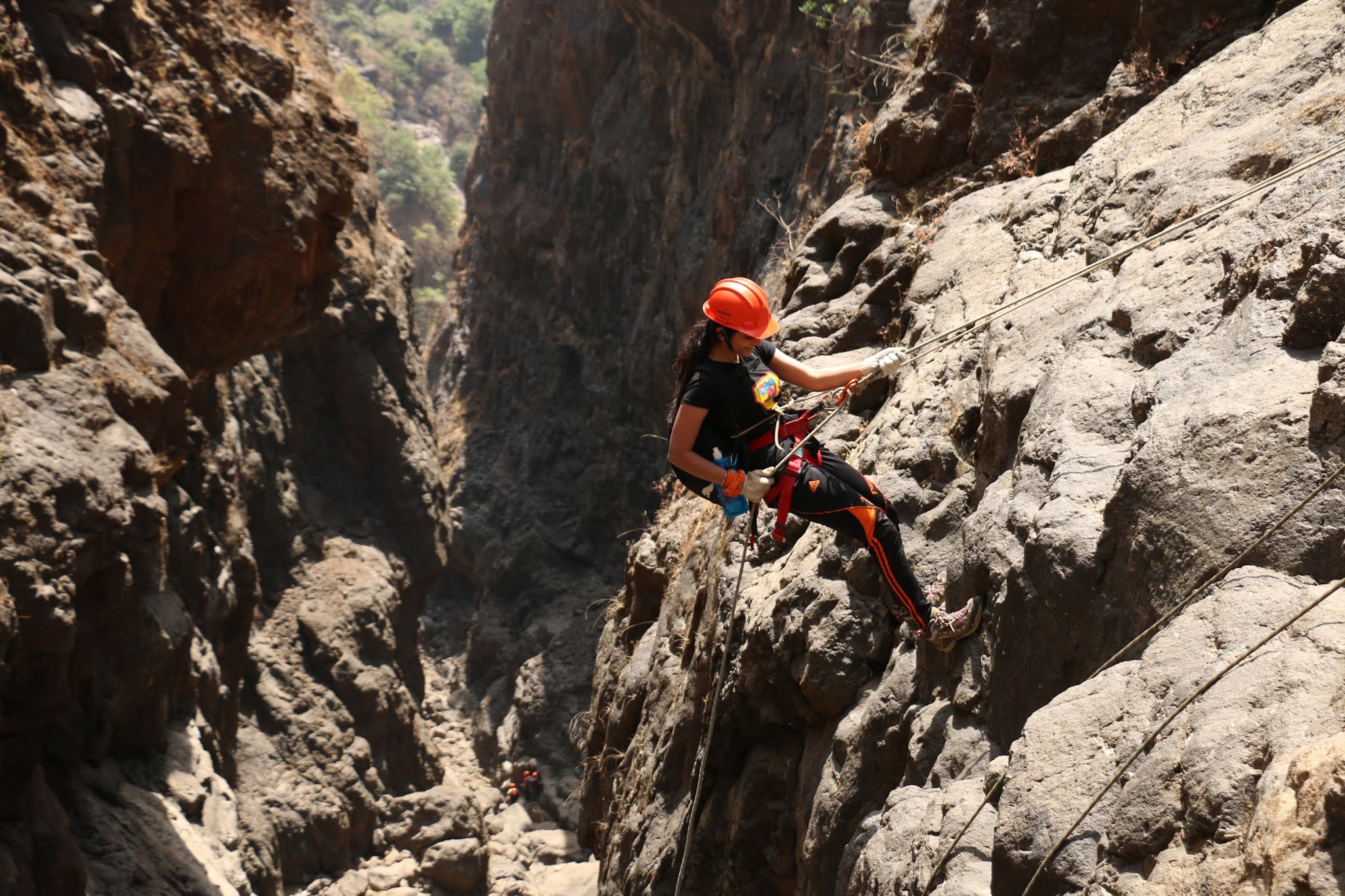
No special transportation is required to get in to the park, however visitors required to use a cable car to reach the top of the park. Visitors intending to enter the park must obtain a paid ticket. Tourists may only bring cameras, and no bags are allowed. Lockers are provided for other items and there will be a security screening process before entering the top.

For more information - Jatayu Park